 |
Figure 2 |
|
679.8 KiB |
Malaria and infectious diseases in West Africa during the 21st Century
|
 |
First Newsletter |
|
525.7 KiB |
Preliminary results and publications
|
|
full text |
|
1015.3 KiB |
South America : Climate signals and Epidemics
|
 |
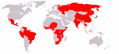
Geographic distribution of choléra |
extract of Wikipedia |
34.1 KiB |
Geographic distribution of Cholera
|
 |
GeospatialHealth-CNES-COVID19 |
|
1.7 MiB |
Covid19 : Air Quality and Space Monitoring
|
 |
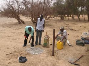
Limnimetric scale installation Ngao pond |
|
14.9 KiB |
Barkedji study area, Senegal
|
 |
map |
|
290.1 KiB |
Study area and in situ data
|
 |
map extract to EMPRES website |
(http://www.fao.org/ag/AGA/AGAH/EMPRES/tadinfo/e_TadRVF.htm)) |
33.8 KiB |
Where is Rift Valley Fever and how does it spread ?
|
 |
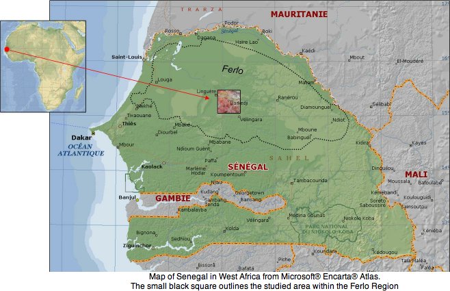
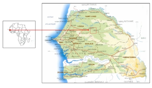
Map of Senegal and Barkedji zone (red square) |
|
72.4 KiB |
GIS and High-Resolution Remote Sensing Improve Early Warning Planning for (…)
|
 |
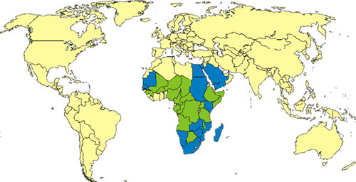
Palucim-Synthesis_III |
|
3.8 MiB |
Malaria in the Sahel: Burkina Faso
|