Background
Due to the vector-dependent transmission of malaria, the environment plays an important role in determining vector distribution and malaria biodiversity. Climate seasonality, rainfall patterns, temperature, humidity and the presence of vegetation and surface water all are directly related to the malaria transmission cycle. In addition, human activities such as agriculture, irrigation, deforestation, urbanization, population movements, dam/road constructions and wars, are also connected to transmission levels and malaria epidemiology Remote sensing techniques provide a great amount of climatic and environmental information that is available from various earth observation satellites. Since the launch of Landsat-1 in 1972, public health has benefited from the growing availability of remotely sensed data that have been used in numerous studies to map the extrinsic determinants of malaria, used as surrogate factors for the vector-borne diseases distribution. Forty years later, we are at a junction when remote sensing has come into its own and is ready to assist epidemiological research on malaria at all levels, as well as disease control.
Exisiting papers (i.e bibliography) show that remotely sensed information allowed modeling the spatial and temporal distribution of several malariometric indices, such as the presence and persistence of Anopheles breeding sites, the larval densities, the aggressiveness or the human biting rate (HBR), the mosquito prevalence of Plasmodium infection, the entomological inoculation rate (EIR) as well as the malaria prevalence, morbidity and mortality in the human population. Climate and environment has been taken into account using different sensors at different scales, from local to continental. A growing part of the human population living in malaria risk areas are living in urban settings. Nevertheless, few studies have been attempted to associate remotely sensed data and malaria in urban areas. The results of the undertaken works highlighted the difficulties to work in cities, as transmission is highly heterogeneous at small scales and the breeding habitats are generally very small.
Methods
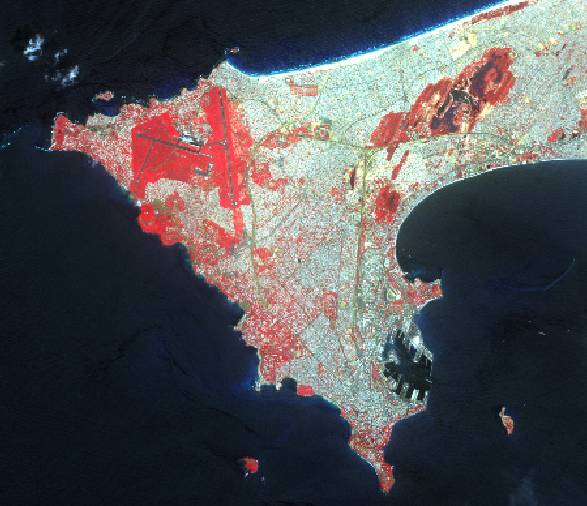
Several SPOT5 scenes with 2.5m panchromatic resolution and 10m multispectral resolution are acquired for wet and dry seasons, contemporary to the field work . Information from images is extracted with ENVI 4.3. Unsupervised and supervised classifications provide information on land use and land cover in Dakar, allowing several types of urban features, bare soils, vegetation to be identified. Different typical indicators are calculated, such as the Normalized Difference Vegetation Index (NDVI).
An ArcMap 9.2 Geographical Information System (GIS) allows gathering the available different types of data: geospatial imagery and the products issued from its analysis, and ground data. Spatial analyses are performed in the objective of studying the landscape features associated with the presence of anopheles breeding habitats and anopheles adult densities.
Statistical analyses are done with STATA 9 software.